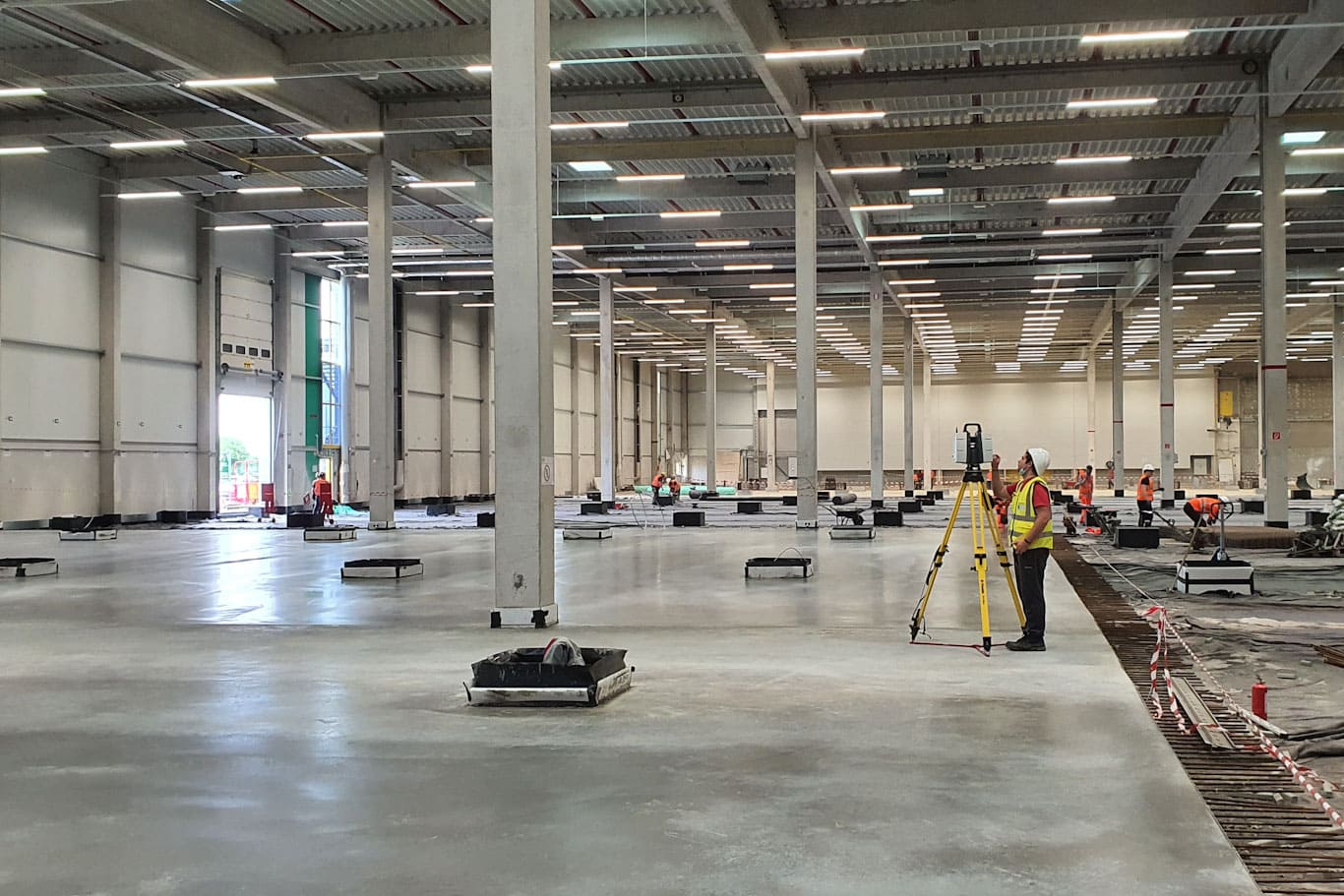
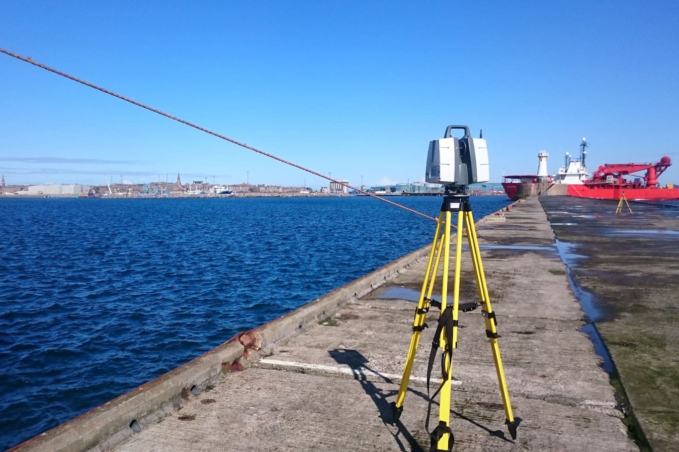
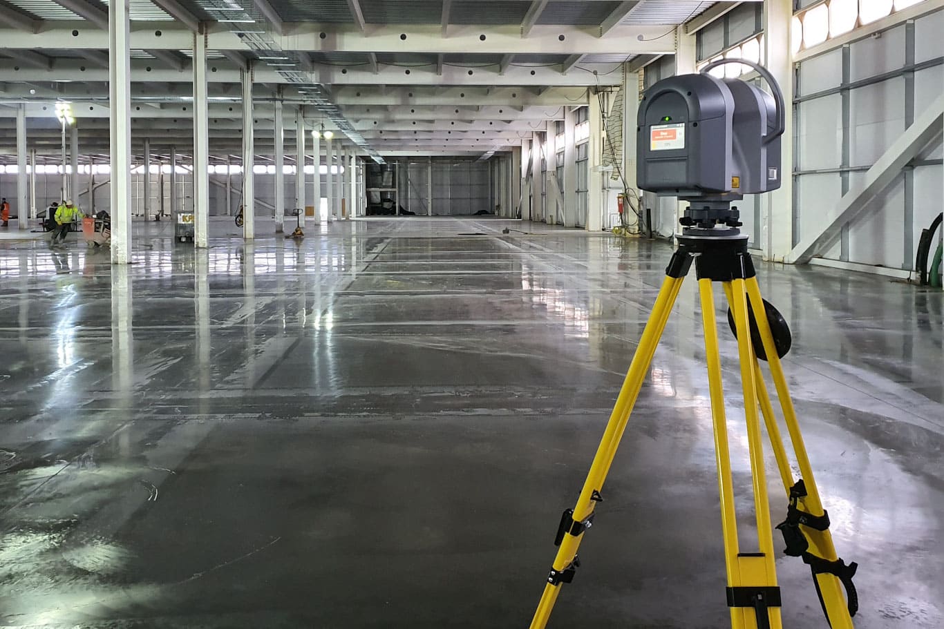
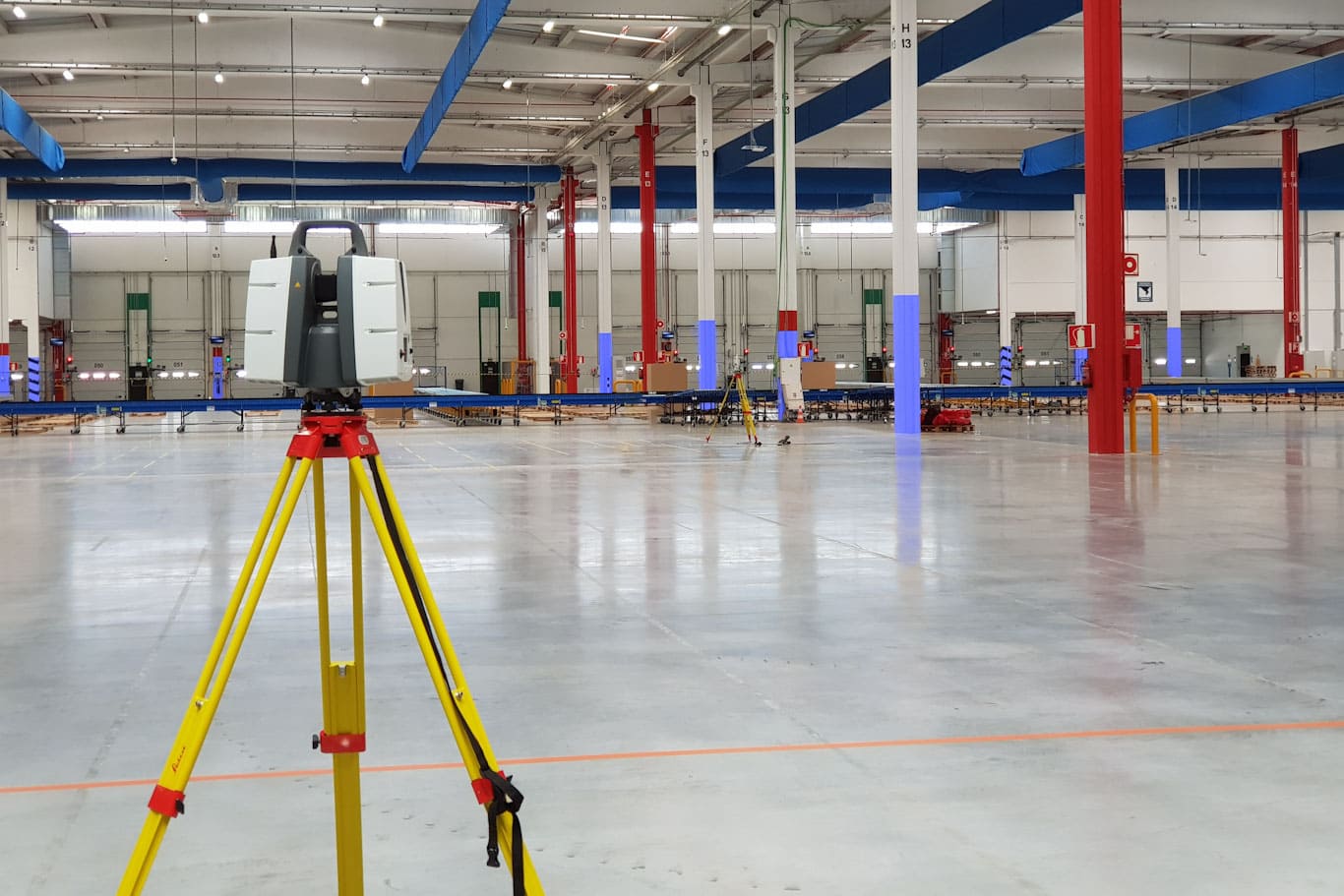
3D Laser Scanning is a game-changer in the field of infrastructure designing and construction. It can rapidly capture the spatial data of objects or buildings and convert it into point cloud data, providing a detailed, three-dimensional visualization that enables precise measurements. These point clouds not only serve as a visual guide but also aid in creating accurate floor plans and sections. Moreover, 3D Laser Scanning is crucial in identifying potential design conflicts with existing structures, thus facilitating efficient Clash Detection. This technology saves time, reduces errors, and enhances the overall execution of construction projects. It is the ideal solution for a wide range of applications, from land surveying to heritage preservation and infrastructure development. 3D Laser Scanning can also be used in reverse engineering processes and CAD modeling. By capturing data from existing structures, this technology enables engineers to create virtual simulations that are much more detailed than traditional 2D methods. With its precise measurements, 3D Laser Scanning can be used to assess the condition of structures or machinery and identify areas that may require maintenance. This technology is also being utilized in cultural heritage conservation, helping to create exact digital replicas of historical monuments and artifacts, preserving them for generations to come. Overall, 3D Laser Scanning is a powerful tool that has revolutionized the way we design and build infrastructure. It has become an essential part of modern engineering, providing accurate measurements and detailed visualizations. From land surveying to heritage preservation, this technology is indispensable in many aspects of construction projects. With its precise measurements and fast data acquisition, 3D Laser Scanning is paving the way towards a more efficient future for the industry.
WHAT WE CAN DELIVER REVIT Elevations, floor plans and sections 3D Models RECAP Traditional 2D and 3D CAD files Laser Scan point cloud data Orthophotos and photo rectification Desktop, mobile and web browser data viewers Topographic Surveys