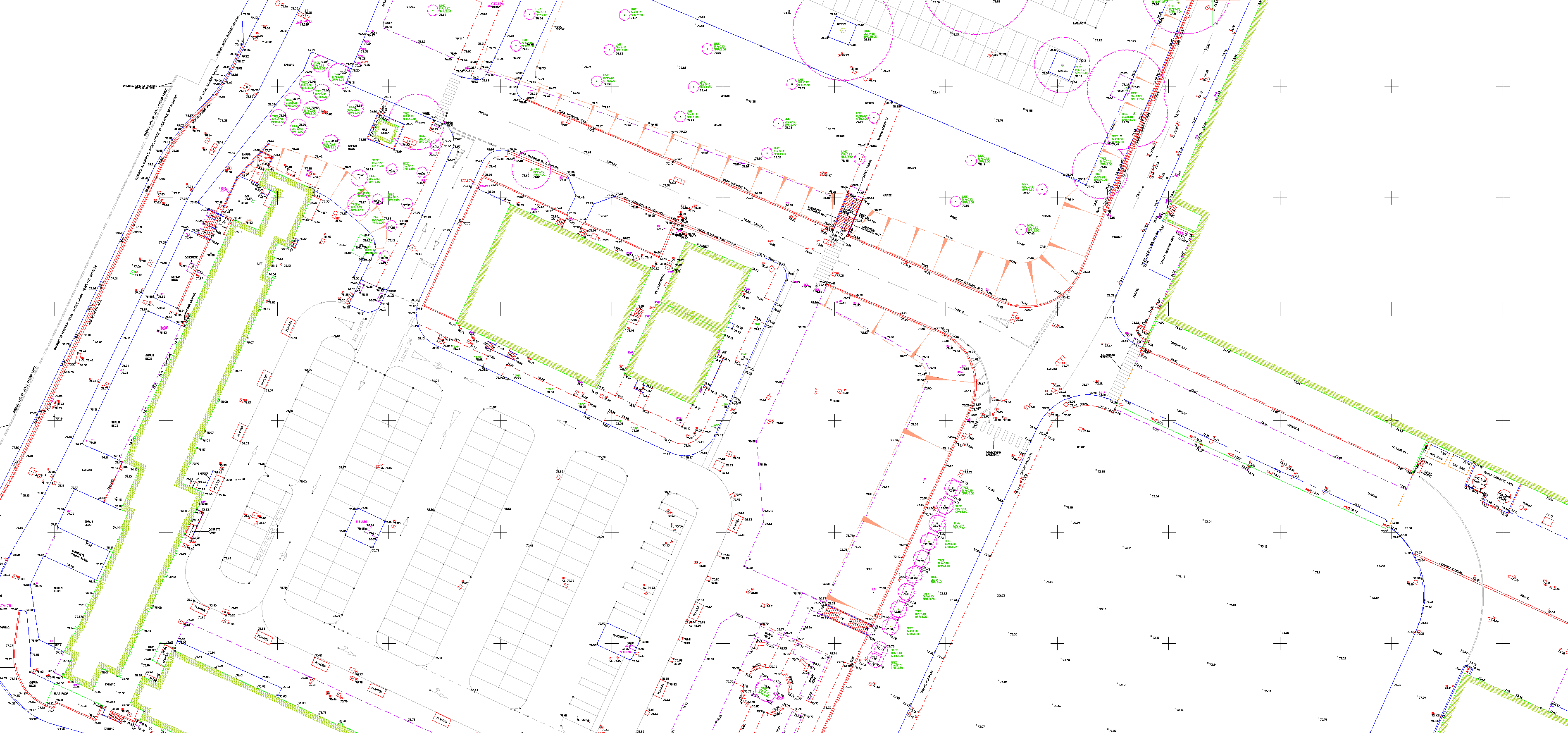
Topographic surveys are a vital part of land development and design processes. They provide detailed and accurate maps and drawings that depict the contour of the ground and existing features on the surface of the earth, including trees, buildings, streets, walkways, manholes, utility poles, retaining walls, and other such physical features. These surveys offer essential information for architects, engineers, and builders, aiding them to make well-informed decisions during the planning and construction stages. Thus, topographic surveys serve as the foundation for any effective land development project.
WHAT WE DELIVER 2D/3D CAD drawings REVIT and BIM PDF DTM Models Cross Sections and long sections A4, A3, A2, A1 and A0 plots